Surface Wade Farm, Christiansburg
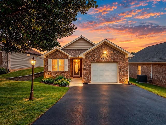
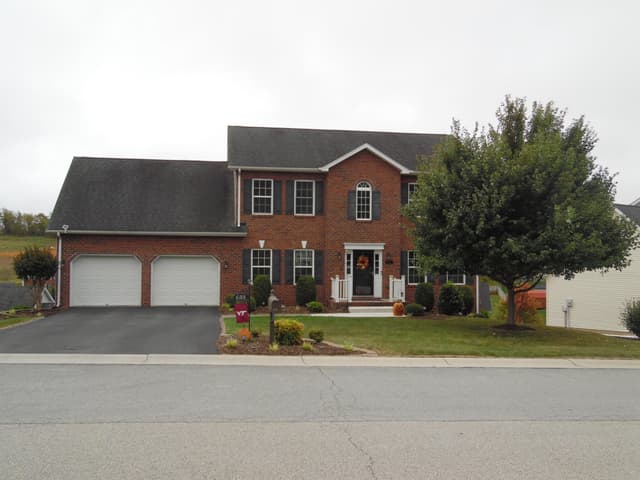
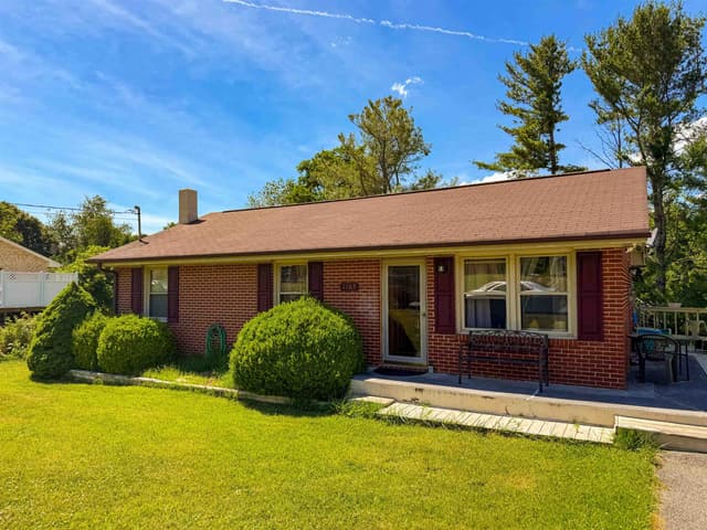
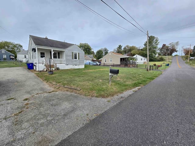
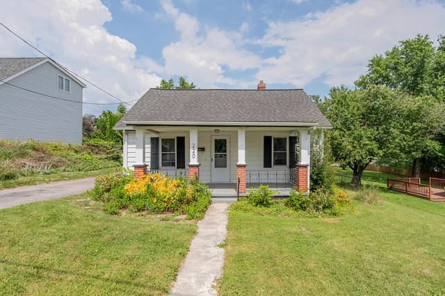
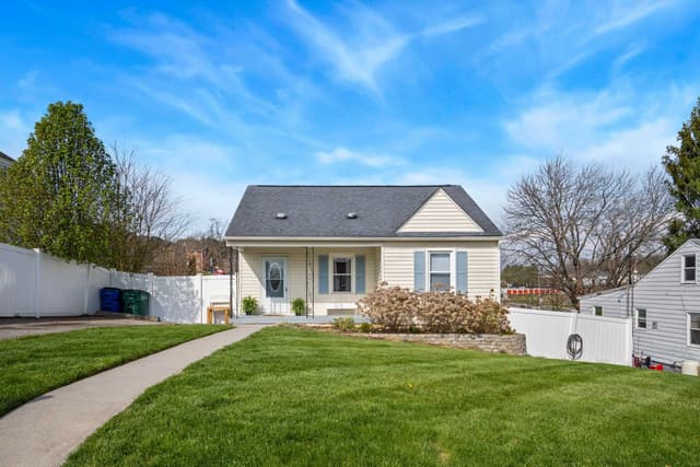
Houses on Elk Drive, Beaver Drive and Radford Street, northwest of downtown, on a farm divided into lots in the 1930s and built on in waves ever since.
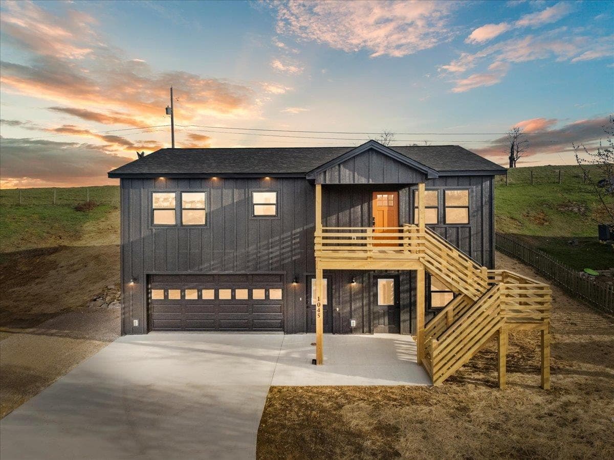
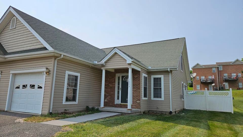
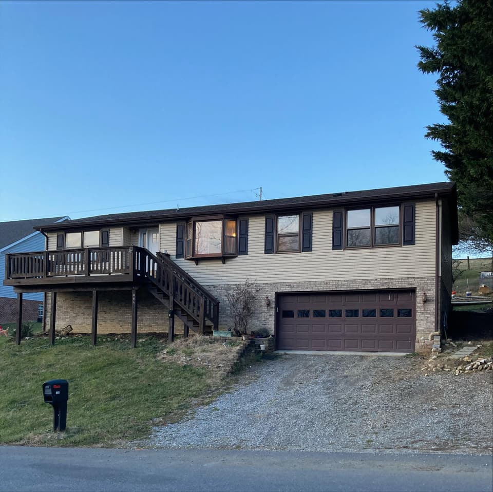
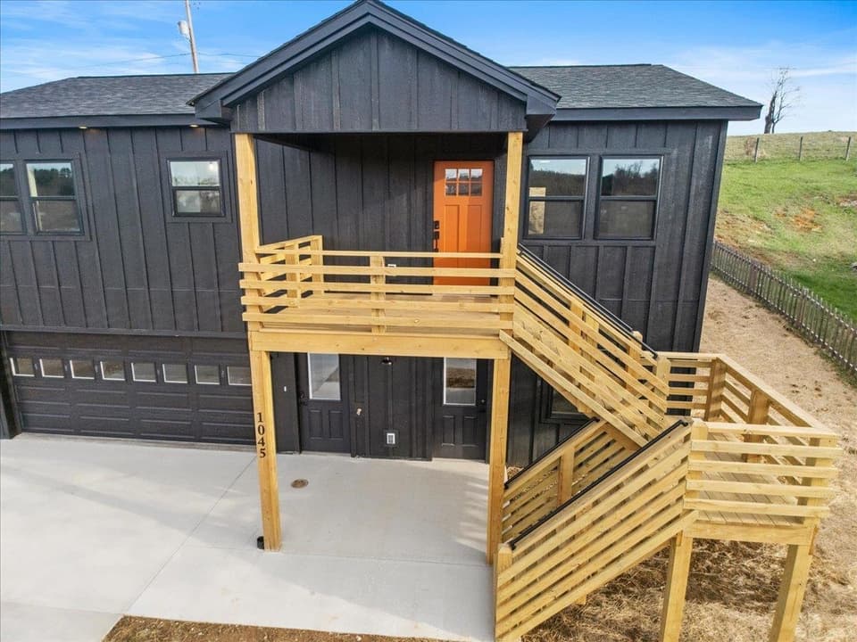
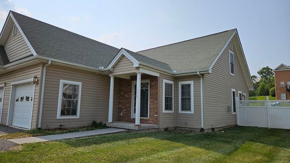
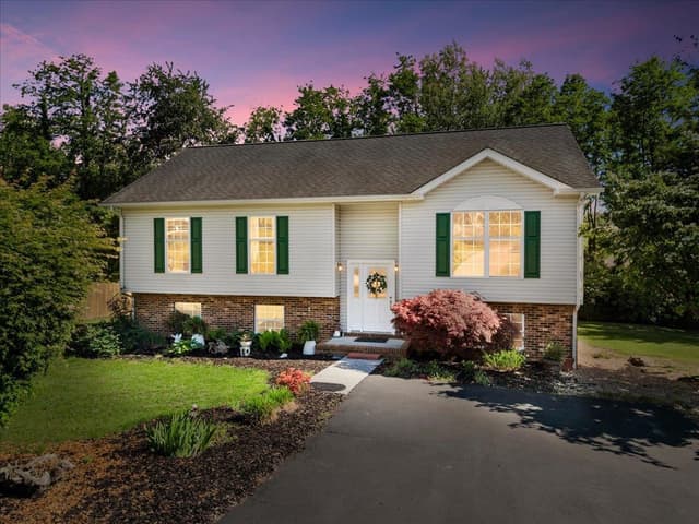
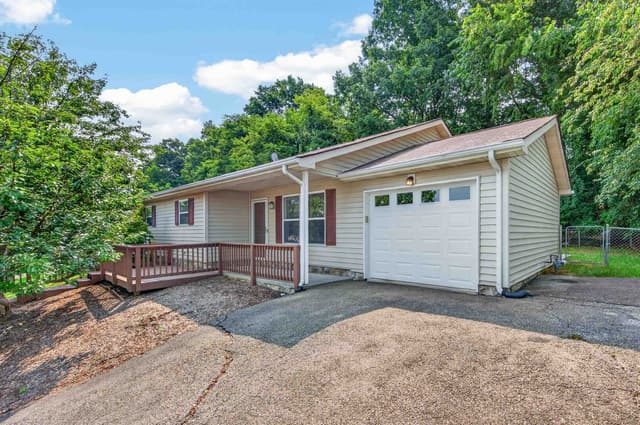
Photos: homes in Surface Wade Farm, courtesy of RE/MAX 8 - Blacksburg, UC/Blue Ridge Land & Auction, Long & Foster - Smith Mtn Lake.
31
Home sales on record
Since 2007
For sale
Nothing for sale in Surface Wade Farm right now.
Get an email when one listsAll homes for sale in Christiansburg
For sale nearby
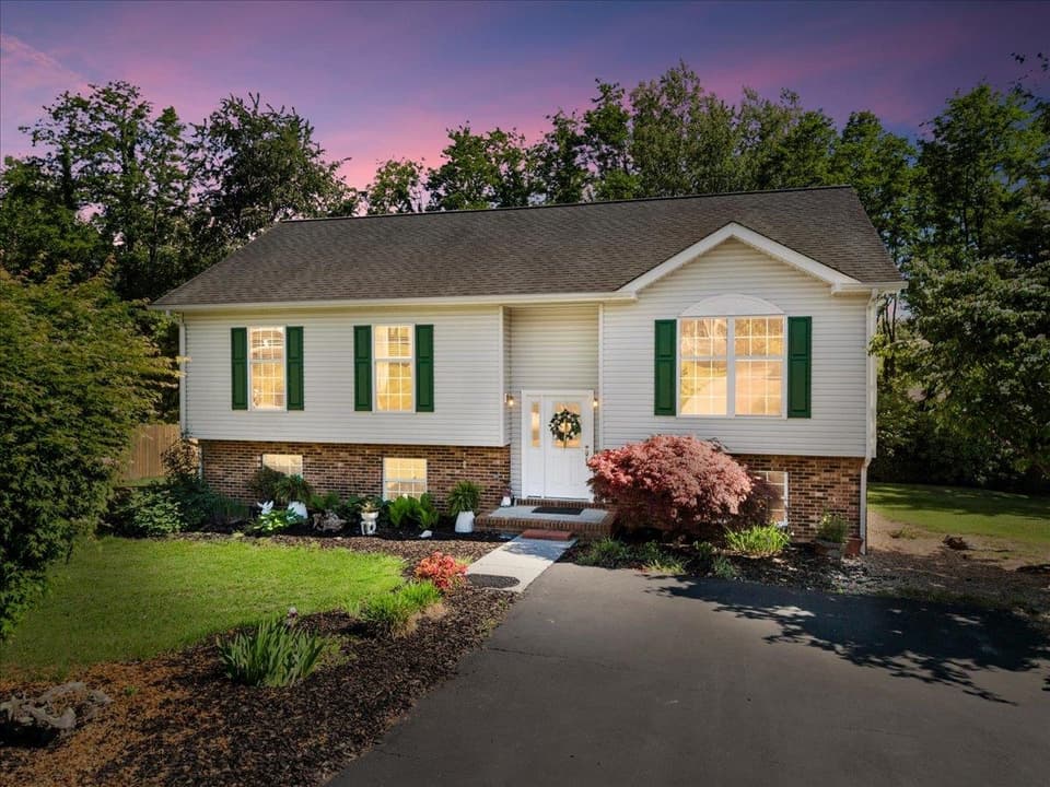
$329,000, price reduced by $46K
5 bd3 ba2,376 sq ft
650 Warren Court, Christiansburg
Listing courtesy of RE/MAX 8 - Blacksburg
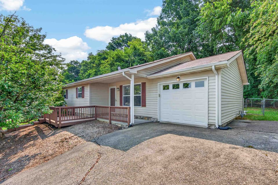
$225,000, price reduced by $10K
3 bd2 ba1,084 sq ft
650 Kamran Drive, Christiansburg
Listing courtesy of Nest Realty SWVA
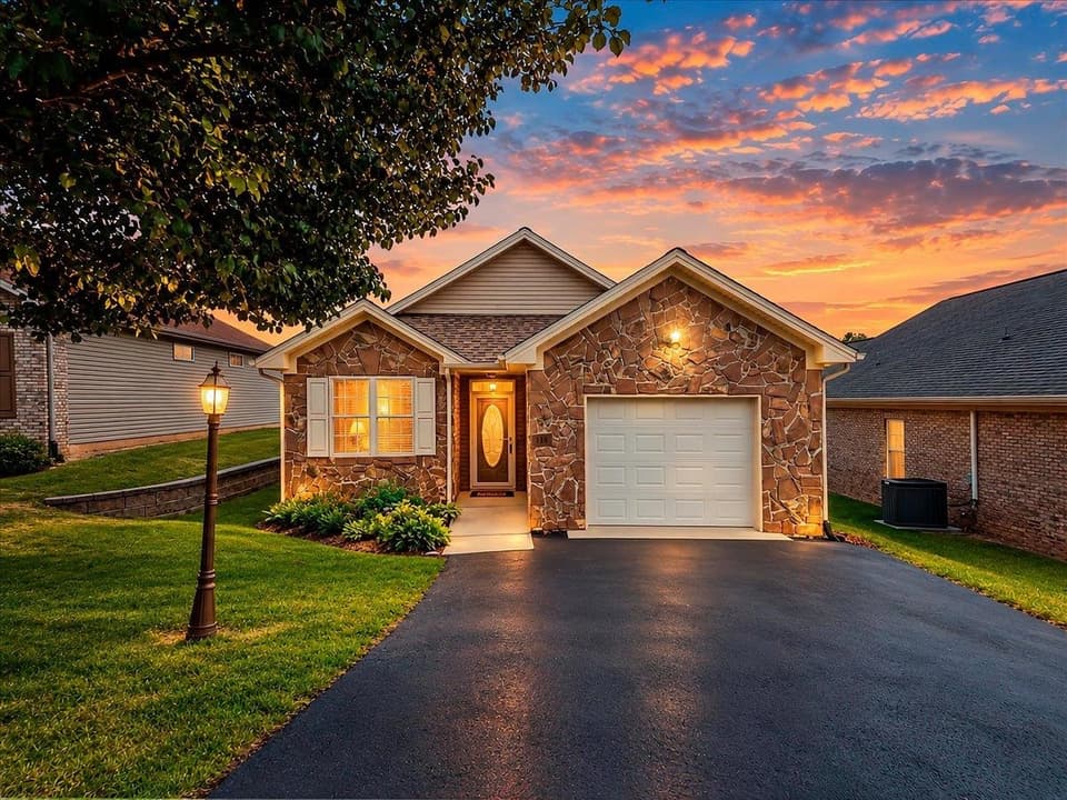
$300,000, price reduced by $5K
2 bd2 ba1,318 sq ft
115 Windsong Lane NW, Christiansburg
Listing courtesy of RE/MAX 8 - Blacksburg
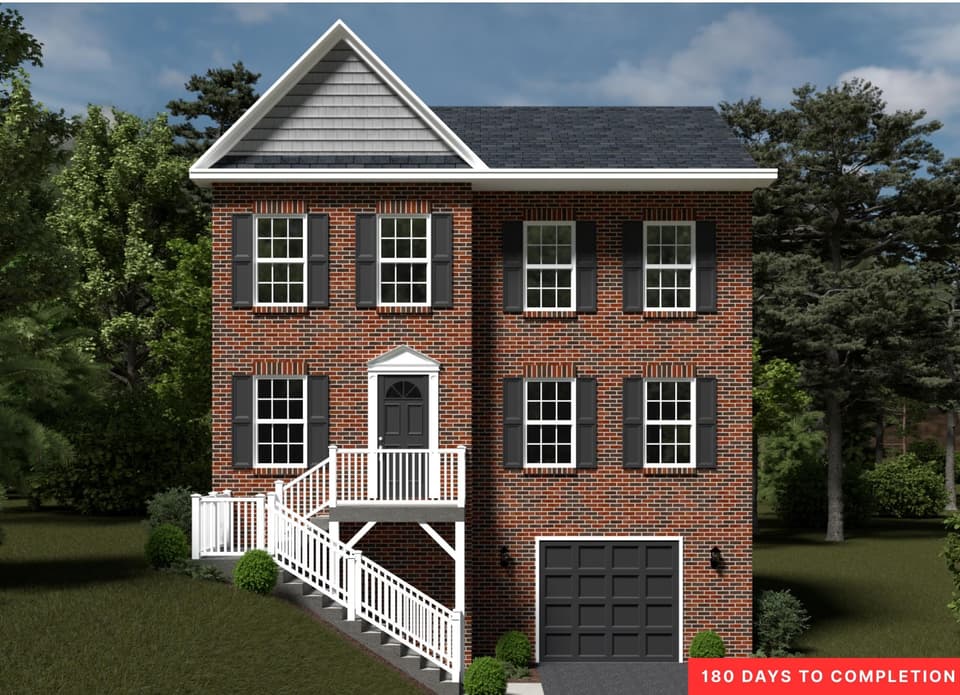
$404,950
3 bd3.5 ba2,318 sq ft
1585 Kensington Way NW, Christiansburg
Listing courtesy of R. Fralin & Assoc., Inc
History
A farm on the turnpike west of town.
Radford Street, along the south edge of this neighborhood, is the old road west out of Christiansburg. A Confederate engineers’ map of the county drawn in 1864 labels it the Turnpike and marks a house called Hall beside it, near the southern edge of today’s neighborhood. From there a lane ran north and west to a mill the map labels Gardner’s, about half a mile to the west-northwest. The Town’s history counts the Gardner Zink Mill west of town as one of two early mills that small industries grew up around.
The farm’s name joins two family names long known in town. The Wades were merchants and businessmen in Christiansburg from the early 1800s, by the account of the South Franklin Street Historic District’s nomination, and the Surface family’s ornamented cottage of about 1870 is on the National Register. No record we found says who owned the farm or how it got its name.
Keep reading
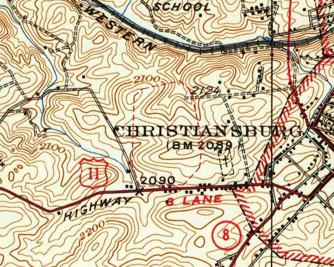
The county’s records show it divided into numbered lots, with plat references in Deed Book 98, a volume from the 1930s. The government map surveyed in 1932 still shows the land as open farm country north of the Lee Highway, U.S. 11, which it marks as a three-lane road. The first houses on record went up on Elk Drive in 1940, and a few more followed each decade. The streets carry animal names: Elk, Beaver and Badger, and a Fox Street that the county’s records show was later vacated.
The Elk Drive area came into the town limits in 1988, by the Town Council’s account. In the Town’s 2005 to 2006 fiscal year new water and sewer mains were laid in Surface Wade Farm, about 1,400 and 1,000 feet of them, and in 2008 the Town budgeted a sewer extension up Elk Drive for the following year. The houses followed: about forty went up in the 2000s, more than in all the decades before.
Timeline
- 1864A Confederate map marks a house called Hall on the turnpike here and a lane north to Gardner’s mill.
- 1930sThe farm is divided into lots, with plat references in the county’s Deed Book 98.
- 1932Government surveyors map the land as open farm country beside U.S. 11.
- 1940The first houses on record go up on Elk Drive.
- 1988The Elk Drive area comes into the town limits.
- 2005New water and sewer mains are laid in the town’s 2005 to 2006 fiscal year.
- 2000sAbout forty houses go up, the busiest decade by far.
Good to know.
Animal streets
Elk Drive, Beaver Drive and Badger Street, plus a Fox Street that the county’s records show was vacated.
Two old names
Wade and Surface are both old Christiansburg family names; no record we found explains the farm’s name.
Late bloomer
Divided in the 1930s, the farm saw more houses built in the 2000s, after town water and sewer arrived, than in the sixty years before.
In town since 1988
By the Town Council’s minutes, the Elk Drive area came into the town limits in 1988.
Sources
- Montgomery County GIS: tax parcels, public layer (subdivision name, lots, vacated Fox Street, plat and deed-book references, years built; no owner data)
- Library of Congress, Geography and Map Division: Map of Montgomery County, Virginia (S. W. Hill, C. S. Dwight and A. M. Smith, 1864; Hotchkiss Map Collection)
- U.S. Geological Survey: Blacksburg, Va., 1:62,500 quadrangle (surveyed 1932, dated 1937), Historical Topographic Map Collection
- Town of Christiansburg: Town History (the Gardner Zink Mill west of town; the 1988 annexation)
- National Register nomination: South Franklin Street Historic District (DHR 154-0010; the Wade family)
- National Register nomination: Surface House (DHR 154-0043)
- Town of Christiansburg Annual Report, July 1, 2005 to June 30, 2006 (new water and sewer mains, Surface Wade Farm)
- Town of Christiansburg Archive Center: Town Council minutes, March 18, 2008 (sewer on Elk Drive; the area incorporated in 1988)
- Town of Christiansburg Archive Center: Town Council minutes, May 20, 2008 (proposed budget: sewer extension for Elk Drive)
The history of Christiansburg A history of real estate in Christiansburg
The homes
The homes of Surface Wade Farm.
Houses lead among homes built in the 1980s; townhouses lead among those built in the 2000s.
- Home types
- Built
- 1940 to 2026
- Busiest decade
- 2000s, 48% of homes
- Typical home
- 3 bedrooms, 1,250 sq ft
- Typical lot
- 0.25 acres
- First sale
- February 2007
Homes by decade built
25 homes on record with a year built, the busiest decade in blue.
Home types by decade built
Share of the homes built in each decade. Decades with at least 3 homes on record.
| Built | Houses | Townhouses |
|---|---|---|
| 1980s | 100% | 0% |
| 2000s | 33% | 67% |
From homes in Surface Wade Farm listed or sold since 2005 in our records, counted once each, with years built as reported in those listings. Older homes that have not changed hands since then are not counted. Medians count homes only, not land.
Sales
What homes have sold for in Surface Wade Farm.
Every sale since 2007
One dot per home sold, by date and price.
| Period | Sale price |
|---|---|
| Feb 26, 2007 | $135K |
| Oct 14, 2008 | $165K |
| Oct 12, 2010 | $146K |
| Mar 16, 2011 | $130K |
| Apr 11, 2011 | $147K |
| Sep 2, 2011 | $128K |
| Apr 23, 2012 | $162K |
| May 17, 2012 | $155K |
| Mar 18, 2013 | $64K |
| Nov 21, 2013 | $56K |
| Jan 13, 2014 | $150K |
| May 29, 2015 | $30K |
| Sep 24, 2015 | $95K |
| Sep 28, 2015 | $63K |
| Jan 20, 2016 | $128K |
| Apr 29, 2016 | $95K |
| Nov 29, 2016 | $45K |
| Oct 4, 2017 | $177K |
| Dec 20, 2017 | $118K |
| Sep 17, 2019 | $84K |
| Jan 29, 2020 | $204K |
| Sep 14, 2020 | $118K |
| Sep 18, 2020 | $192K |
| Apr 21, 2021 | $132K |
| May 13, 2021 | $150K |
| Jul 26, 2021 | $230K |
| Sep 22, 2021 | $216K |
| Aug 16, 2022 | $155K |
| Jan 23, 2023 | $255K |
| Sep 1, 2023 | $245K |
| Apr 24, 2026 | $390K |
The latest 10 sales
1 sale in the last 12 months. Final sale prices, newest first. 1 more sale counts in the figures but is not listed (no street address on record).
| Address | Sold | Price | Beds / baths | Sq ft | Per sq ft |
|---|---|---|---|---|---|
| 1045 Beaver DriveListing courtesy of RE/MAX 8 - Blacksburg | $390,000 | 3 bd / 3 ba | 1,707 sq ft | $228/sq ft | |
| 1115 NW Beaver DriveListing courtesy of Coldwell Banker Townside Bburg | $110,000 | 1.1 acres | |||
| 1043 Elk DriveListing courtesy of UC/Blue Ridge Land & Auction | $245,300 | 3 bd / 2 ba | 1,445 sq ft | $170/sq ft | |
| 995 Beaver Dr NWListing courtesy of Long & Foster - Smith Mtn Lake | $255,000 | 3 bd / 2 ba | 1,908 sq ft | $134/sq ft | |
| 940 Elk DriveListing courtesy of Coldwell Banker Townside-Roank | $154,950 | 2 bd / 1 ba | 1,051 sq ft | $147/sq ft | |
| 1015 Beaver DriveListing courtesy of Price Real Estate, Inc. | $216,000 | 3 bd / 2 ba | 1,240 sq ft | $174/sq ft | |
| 1207 Silver Lake Rd NWListing courtesy of UC/Blue Ridge Land & Auction | $230,000 | 3 bd / 2 ba | 1,388 sq ft | $166/sq ft | |
| 945 Elk Dr NWListing courtesy of Coldwell Banker Townside Bburg | $150,000 | 2 bd / 1 ba | 759 sq ft | $198/sq ft | |
| 950 Beaver Dr NWListing courtesy of RE/MAX 8 - Blacksburg | $132,000 | 3 bd / 2 ba | 960 sq ft | $138/sq ft | |
| 0 Badger StreetListing courtesy of Welcome Home Real Estate | $118,000 | 4 bd / 2 ba | 1,836 sq ft | $64/sq ft |
Every recent sale in Surface Wade FarmThe Christiansburg housing market
Location
Where Surface Wade Farm is.
Pins show homes recently sold, with their prices.
Around here.
Closest places
- Kroger 1.1 mi
- Brew Da Bean 1.2 mi
- Country Kitchen Restaurant & Catering 0.1 mi
- El Bronco Mexican Bar & Grill 0.9 mi
- Wall Street Park 0.4 mi
Straight-line miles from the center of Surface Wade Farm. Driving and walking distances are longer. More in Discover Christiansburg
Coming nearby
What’s coming near Surface Wade Farm.
Development projects within about a mile, from Town of Christiansburg records.
- Approved Apartments between Moose Drive NW and Bishops Gate Road NW (F & B Land, up to 162 units)
- Under construction Kensington subdivision Phases VIII and XI, Kensington Way NW and Diana Drive NW
- Under review Chrisman Townhomes, 350 to 370 First Street SW
- Under review Montgomery County Cooperative Extension office relocation and renovation, Radford Street NW
- Approved North Franklin Street and Depot Street intersection improvements
Everything coming to Christiansburg
Information from Town of Christiansburg public records and other official sources. Check the official record for decisions.
Schools
Public schools for Surface Wade Farm.
Every home on record here is in the same attendance zones.
-
Elementary
-
Middle
-
High
Assigned by attendance zone. Boundaries can change; confirm with Montgomery County Public Schools. Based on 7 homes on record in Surface Wade Farm with a map location; distances are straight-line.
Nearby
Neighborhoods near Surface Wade Farm.
FAQ
Questions? Answers.
What do homes in Surface Wade Farm sell for?
Surface Wade Farm has 31 home sales on record since 2007, too few in the last five years for a median. Each sale the seller allowed to be shown is listed on this page with its price and date.
How many homes are for sale in Surface Wade Farm right now?
No homes are for sale in Surface Wade Farm right now. Sign up for Surface Wade Farm alerts on this page to hear when one lists.
How far is Surface Wade Farm from downtown Christiansburg?
Surface Wade Farm is about 1.1 miles west of downtown Christiansburg, measured in a straight line from the neighborhood's center. Driving distances are longer.
What schools serve Surface Wade Farm?
Homes in Surface Wade Farm are in the Montgomery County Public Schools attendance zones for Christiansburg Primary and Christiansburg Elementary, Christiansburg Middle and Christiansburg High. Assigned by attendance zone. Boundaries can change; confirm with Montgomery County Public Schools.
When was Surface Wade Farm built?
Surface Wade Farm was divided into lots in the 1930s; its first houses went up in 1940, and most were built in the 2000s after town water and sewer were extended. Homes on record in Surface Wade Farm were built from 1940 to 2026, the largest share in the 2000s.
How do I get alerts for new listings in Surface Wade Farm?
Use the sign-up form on this page. Confirm the email we send you, then you get an email when a home in Surface Wade Farm lists, drops its price or comes back on the market.
Alerts
New listings in Surface Wade Farm, by email.
An email when a home in Surface Wade Farm lists, drops in price or comes back on the market. Nothing else.